Information and photos of my mountaineering trips in Scotland,England and Wales:
Including hillwalking,scrambling and easy rock climbing.Also via ferrata, skiing and alpine trips in Europe.

Like this blog!

Wednesday, 10 August 2011

Felskin to the Brittania Hut, 10th August 2011.

After the last few days, of worry I decided to take a short walk from the Felskinn lift through the Eginnerjoch to the Brittania Hut. Part of the route, on the hut side, is closed due to rockfall so it takes slightly longer than the 90 minutes stated on the signposts. You also get a good view of the south side of the Egginer as you pass through.   
Looking through to the Egginerjoch from the Felskinn lift station. 
Looking back at the route with the Alphubel in the distance. Nothing is hard about this walk, in fact there were many "ordinary" walkers enjoying a taste of the alpine scenery. You do have to pay some attention though but with common sense and the right clothing anyone can make the journey to the Brittania Hut and back. 
As I got closer to the steep face of the Eginner, I noticed a team of climbers making their way up one of the chimneys. After the previous few days I was aware of what might be loose rock and hoped they had a safe journey to the summit of what looks like a complicated mountain to route find on.   
The "normal" route through the Eginnerjoch was closed due to rockfall! Ironic considering, so you are diverted to a more circuitous route to the bottom of the Chessjengletscher which follows its left hand edge before striking off right, across the glacier itself to bring you just below the Brittania Hut. I chose a more private spot away from the hut to have my one jam roll, chocolate bar and flask of tea.     
My peaceful spot had a view of the Strahlhorn and Rimpfischorn, both acccesible after a night at the Brittania Hut. 
Lagginhorn as seen from the Brittania Hut with snow on it's upper slopes, apparently making it slightly harder than normal? The Fletschorn is to it's left.
Looking across to the Almageller Hut and the Dri-Hornli Ridge.


Monday, 8 August 2011

Epic on the NNE Ridge of the Egginer from the Mittaghorn, 8th August 2011.


Hoping for a cloud inversion on the Mittaghorn summit.

Looking at our first gendarme as we head south along the North-North East ridge of the Egginer. I was a bit apprehensive at first as although it was meant to be no harder than V-Diff for some of the moves, I was aware of there being no one else on the ridge and despite being able to see some of the lift stations, they still seemed a long way away.     
Some of the scrambling/climbing was scrappy in places, not too difficult but was it a sign of things to come?
Occaisionally a veil of cloud would cover the ridge adding to the drama closely followed by a brief spell of hailstones which was worrying, but it soon cleared leaving us just the cloud to peer through.  
The next gendarme was more "soild" and a variety of lines seemed possible although I aired on the side of caution and tried for the simplest!
We were getting close to what I thought was the lowest point in the NNE ridge, and the sight of the small glacier below seemed to confirm that. The last downclimb seemed trickier than it should've been, but we were soon on a level-ish section with possibly 20m or so to what appeared to be a final downclimb before the descent. 
At this point,after doing so well for our abilities, I suggested that instead of staying on the crest, we take a  gradually descending traverse line towards the final descent. I went first on belay, but as I moved along and down, it became clear that there was a lot of unstable rock. It was hear that I had my first feelings og doubt at my route choice and told Lorna not to descend as far as me, but to go back up to the crest (no more then 10m above) and make herself safe.
Once I was back on belay, I followed the rope as Lorna was out of sight for a while due the nature of the blocks and pinnacles.
At about 5m from the crest I came to a fridge-freezer size block.
Here it was basically walking around the large rocks, and as I stepped between the block and the mountain side - it moved.
From here everything happened so fast. The block toppled like a domino and broke in two (maybe more?). The top half went downwards, which was good as Lorna was not directly below me, and at least 5m along and very slightly below. However the remaining piece of rock decided to defy the laws of science and bounce, slide and roll towards Lorna.
As I shouted to her to move, she jumped into a recess, but not far enough.
The rock caught her right ankle between another rock , essentially acting like a vice resulting in a broken ankle.          
      
Looking across the the NNE ridge of the Eginner. Not far from the lowest point is where we were picked up by the Air Zermatt helicopter. I never got the names of the pilot, loadmaster or the paramedic that was winched down to us, but they were all amazing, calm and non-judgemental. Rolf, the Saas Fee mountain rescue guy who came with them was also brilliant,especially with his "shit happens", quotes!
At some point in this blog I will return to this post and talk more about the rights, wrongs, mistakes or wether it was just an accident?    


Sunday, 7 August 2011

A short walk below the Mischabel Hut, 7th August 2011

The morning rain had put off the local guides from organising any trips in the "Gorge", so after a stroll around the village and a visit to the Bergfurhrer Buro , we decided to take the Hannig cable car and do as much of the walk in (ie up) to the Mischabel Hut. 
We only had a couple of hours to walk as far as we could before returning to catch the last lift back down to Saas Fee. The walk is interesting though and would make a good day out in itself with lunch at the hut. 
We had seen people hand feeding Marmots the previous day as we took the cable car down from Spielboden, so I was hoping to catch a glimpse of one today. Luckily something caught my eye and sure enough there was a marmot, sitting on a rock about 30m away. I was tempted to leave the path to get closer but felt sure if I had I would've scared it off!  
We didn't make it as far as the start of the cables up to the hut unfortuneatly as we decided to about turn and make for the cable car and a beer! The return walk gives good views over Saas Fee and the surrounding peaks. 
There are also pockets of Ibex (as I call them , although I have heard them being called Bouqetin) around  the hillsides. Some of them appear in the most unlikely and exposed places.
On the way down we passed what I think was the edge of the Fall Glacier. I assume the Hohbalm Glacier would be further left as you face the mountain?  
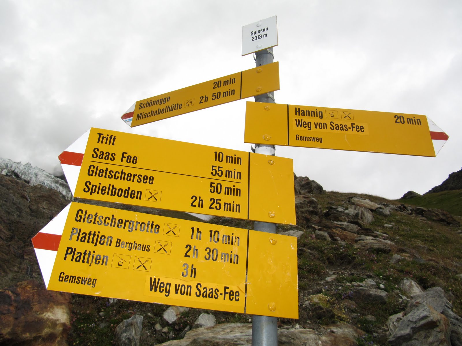
There are always plenty of signposts and waymarkers on most of the routes. Some may say too many, but they do come on handy though! We made it back to the Hanning resteraunt in time for a quick drink before taking the last car down.

Around Saas Fee, August 2011.

Sunshine and showers in Saas Fee.
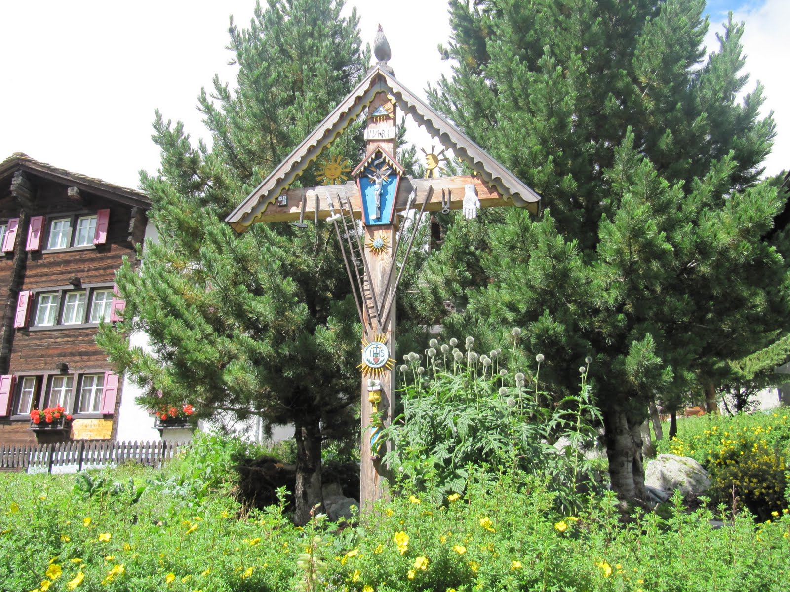
Religion is still present in the valleys of the Saastal.
Heading towards the "Bergfurer Buro" in the centre of Saas.
Typical wooden chalet style buildings can still be found amongst more modern hotels and appartments.
Once the grass had dried out from the previous weeks rains, it was time to harvest.
 

Saturday, 6 August 2011

Saas Fee, Langfluh - 6th August 2011.

Looking across to the Mittaghorn and the Eginner on our first afternoon in Saas Fee, where we had enough time to take the lifts up to the Langfluh station and take a look around as we'd never been over that side of the Fee Glacier before. For a saturday afternoon, the lifts and the cafe were very quiet, something which we thought we noticed alot over the nex couple of days. Is it getting too expensive now? 
The pictures don't do justice to the scale of the glacier and it's crevasses.
Looking up towards the Alphubel Joch from the side of the Langfluh.
A team heading up towards the ice above the Langfluh.
Looking up at the Feekopf with Mittleallalin high on the left and the Alphubel out of shot to the right.
Atmospheric view across the Fee Glacier to the Eginnerjoch with the Eginner on the left. 
Mittleallalin's revolving resteraunt just visible with a trail from Felskinn visible.
A new use for old boots at the Langfluh resteraunt.
Our singing, harmonica playing companion on the descent to Saas from the Langfluh.
 

Monday, 1 August 2011

Hogget Gill to the Priesthole Cave, 30th August 2011.


A short walk from Sykeside Farm Campsite, as if heading into Dovedale, leads you to the start of Hogget Gill. This grade 1 scramble is a great way up the fells (in not too wet conditions) for beginners, and  the interest is kept up all the way. 

Myself, Lorna and Lennon made our way up through the jumble of rocks and fallen trees, around various small pools, and up small waterfalls. Getting wet was all part of the fun, although never anything too serious. The gill was fairly dry although some sections need thoughtful footwork to avoid a slip on the wet, slimy rock: even for a grade 1 scramble.     

We did avoid the alternative grade 3 section in the middle, which takes a rising rightwards traverse, up the slabby left wall by a steeper fall. Although not to high, the hardest part looks like the first few moves, with little protection a slip would've been possible especially for a beginner. The rock close to the fall was also damp so we opted to escape left out of the ravine an rejoin the gill about 20m higher.

Between rocky scrambly walking, you get sections of larger boulders to negotiate between and the option to get as wet as you like!

Lorna and Lennon near the top of the gill.

Looking down Hogget Gill onto Sykeside Farm campsite at the bottom of the valley. The short grade 3 section is just where the gill drops down the ravine in the centre of the picture. 

From the top of the gill it is possible to traverse over rough ground below the crags of Dove Crag to join the path rising up from Sykeside. From here you can find the seemingly not so secret Priesthole Cave where we stopped for lunch before heading back down the campsite.    

Sunday, 3 July 2011

Curved Ridge, t - shirts and Baldrick, 3rd July 2011.


Unbelievable weather and views in Glencoe today as myself and Sam set out for Curved Ridge on the "Buchaille". If anything we would've liked a bit more of a breeze as it was sweaty work on the walk in.   


Spot the climber on the Rannoch Wall, to the left of Agags Groove, possibly om January Jigsaw?

Climbers ahead of us on what became a very sociable day on the ridge.

We roped up a little way up the ridge as it was Sam's first time on anything like this, but he took it all in his stride and did really well!

Looking down at the climbers we saw earlier.

And again looking down with Curved Ridge to the right of the Rannoch Wall.

Sam at the top of the final section of steeper scrambling, before we took the chossy gully round the back of Crowberry Tower, up which we climbed to stop for a rest and take in the views before down-climbing it and heading for the summit of Stob Dearg. Had a nice chat with a couple who had just abseiled off the tower. Sadly I didn't get a photo of them doing it!    

En route down, we encountered "Baldrick" copping a cheeky lift from his owner to add an amusing end a cracking day in the highlands! 

Monday, 6 June 2011

Wild camp - Red Tarn, 4th June 2011


A late start, around 2pm-ish on Saturday, gave my self, Stevie and Gordon enough time to make the 7 mile walk in to Red Tarn from the Patterdale Hotel before the low cloud really came in. We went via Grisdale as if to make for the Hole in the Wall. Then on to Lanty's Tarn and around the north side of Birkhouse Moor and the path to Red Screes and up to White Side at 863m. From here we went south to Helvellyn and then down Swirral Edge to the outflow of Red Tarn. We had hoped to get a good view of our potential camping spot but it was not to be!

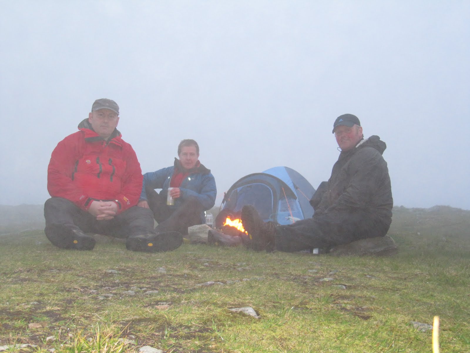
We pitched right next to the outflow of Red Tarn Beck and set about cooking our tea (two packets of variously flavoured cheesy pasta for me). Gordon made noodles whilst Stevie "did something" with a beef curry he had brought with him. Sadly we couldn't take in the view of the crags through dinner so we set about setting the fire.

Environmentalists please note our pre-packed in the wrapper logs were placed on top of a large flat stone, surrounded by four more large stones to protect the ground. 

I woke at 4am and wondered if it was going to be sunny outside. I peered out of my tent to find that dawn was just breaking, with a thin layer of mist hanging over Red Tarn. So I took a few photo's and a short video before going back to bed.  

Later, about 8-ish, I got up again to find it reasonably sunny and a great view of Helvellyn's crags across the tarn. After breakfast (Tea, flapjack and jam roll), we set off on the remaining 7 miles back to Patterdale. This time via Striding Edge, Nethermost Pike 891m, Dollywagon Pike 858m, then down to Grisedale Tarn and the climb up to St Sunday Crag at 841m.
Sunday night was spent at Sykeside Farm Campsite where we had a barbecue followed by some Jennings Smooth Bitter at the Brotherswater Inn!